mapper
-
Posts
43 -
Joined
-
Last visited
-
Days Won
4
Content Type
Profiles
Forums
Events
Everything posted by mapper
-
Hi Lema, Farshad and friends Sorry i'm very late answer. Lema, i am coding for GIS Professional Programs. You know, a GIS concept is work very much vectoral shapes. If you are eating your server memory that is very wrong technic for your many users. I found a methot that Farshad know, and i will share a sample project at my free time. Shortly, I used JSON file and my server work like WMS (Web Mapping Server). Your server create a JSON text file that contain your data with properties (id, color, opacity etc...) and client load this file.. Google Map Api V.3 is support json file with same server.. //we can add this code our html map.data.loadGeoJson('files/sample.json'); //html code. google sample Thanks everybody..
-
In this component use very large mamory if we creat runtime many shape..etc.. Perhaps i must change source code for this component. I understand you very well. Thank you Farshad for reply.
-
ok. i try diffrent way, if i find a solve, i will share. Thanks for all.
-
Hi Lema, UniGmap use dynamic arrays for shapes you know. Question : Which memory use this arrays client/server? if our programs run in web, will be uncount user. What we can do for many shape sharing for stability? Thank You.
-
Thank you for reply Farshad. Ok. For example ClientDataSet which memory use? Server or client? why it's name clientdataset? if i use it, is this may be a solving way?
-
Server system resource may be limited. If we use client system resourse our uniapp will be stable. I want to use array with client memory but how? Can you help me?
-

Programming Hints / UniDBGrid correct RecNo
mapper replied to mapper's topic in Components and Code Samples
-
Like you know, The Database dont return correct RecNo properties everytime. Perhaps, you must scrool all data. (with Prior, next). I found a way; 1- Creat a new UniDBGrid field for first column. (like NO) 2- Copy-paste this code to DrawColumnCell event : procedure ....Form.UniDBGrid1DrawColumnCell(Sender: TObject; const Rect: TRect; DataCol: Integer; Column: TColumn; State: TGridDrawState); var vDbGrid: TDBGrid absolute Sender; begin // only do the next line if this event generated for // the first columnn (column with index 0) if DataCol=0 then vDbGrid.Canvas.TextOut(Rect.Left + 2 , Rect.Top + 2 , IntToStr(vDbGrid.DataSource.DataSet.RecNo)); end; Good programming..
-
Thanks lema, Very good comment. i will always fallow your topics.
-
Threaded background job with progress updates and user control
mapper replied to zilav's topic in Components and Code Samples
Thank you Zilav. Its very importent for interfaces. Very good. -
Hi Lema, How we can Google Map InfoWindow Form design and add to object properties? If We can click object on the map, we can see its properties that we make any properties like JSON objects. Other side, if we can write spatial function how we can attach with the map. For example, i want to relation beetween map object and DBase. Thank you help.
-
Hi Lema, KML file loading is good working your demo. When i run it my pc with local kml file don't load. Can i load local kml file on lan? When i run with local kml , i will try run script other formats. ( Json, shp, dxf etc.) Thank you again. Good work.
-
Yes. But this is impotent all GIS programs. Thanks for rapidly answer.
-
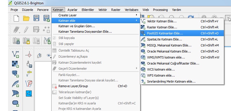
Hi Lema, ı want to add direct all geometric data from database. For example, like QGIS programs can read different data formats..(look at the pic.) Loading step by step is very slowly you know. Can gmap read *.shp, *.json, *.dxf ? Thanks for all.
-
Thank you Lema, Everythings is good. Now. Can we load PostGis or MySql Spatial Table with any query on the map? What do you think about?
-
Survey: Features you want to see in version 1.0
mapper replied to Farshad Mohajeri's topic in Feature Requests
Direct loading Google map, OpenLayer with PostGis,MySql Spatial data. -
Some times, The map corner come empty. Gmap frame aling is client. If i change zoom level, The map is to be diffrent dimention. Is it a bug? What can i do? Thank you Lema for help.

-
Great project. Thanks.