Leaderboard


Popular Content
Showing content with the highest reputation on 01/10/20 in all areas
-
Hello, short stupid questions: does it mean - that i can create a similar thing like unigui.dll just for linux? is the result a Shared Objects (*.so) files what i can upload to an linux-webhoster-standard-server? Must i switch to Lazarus? ..actual i use Delphi XE4 in delphi - i user a reportdesigner to produce PDF files - what soultuion can i use in the future? is the performance higher on a linux system (running a shared object <-> running a dll on windows) ? if Quasar is ready to use - is the basic avantage the "cheaper webhosting" ? - or are there other avantages? ThanX for infos Erich1 point
-
Здравствуйте, Вы можете использовать UniThreadTimer, посмотрите пожалуйста демо примеры.1 point
-
I don't get it. Why you could use it in mobile since the primary effect is hover to select an element. It's good for country/state map selection etc... just an example. You don't hover your finger in mobile interface. It should be broken into to steps event to work as desktop. That's is the problem. As a Desktop UI element is just perfect. Too much trouble with google maps elements to make it work alone. And using image like the Sherzod example, solve all my problems.1 point
-
1 point
-
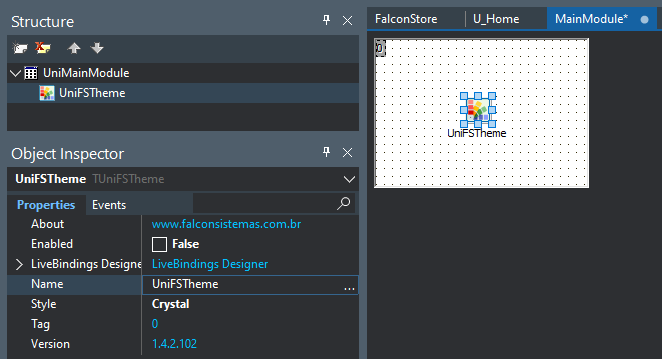
Hi @Jassiv Guerrero Simple UniDBGrid link DataSource read column bd: <span> <div class="media-left"> <img class="media-object" alt="48x48" style="width: 48px; height: 48px;" src="\imagens\componentes\unifalcon.png"> </div> <div class="media-body"> <h5 class="media-heading"><b>UniFalcon <span title="última atualização" class="label label-warning">Up 02/01/2020</span></b></h5> <p>Pacote de componentes unigui da falcon sistemas.</p> </div> </span> the style of grid is provenient of component UniFSTheme:
 1 point
 -
Thank You Sherzod for this practical example. I see you are using a HTMLFrame to hold the Chords for the map images - all good. Question: This HTMLFrame seems to act as a hidden repository to hold the map image co-ordinates and does not paint (setting Hidden Tag to True and/or Top to -249 makes no difference to the outcome of the WebApp). (1) Is this normal ? (2) How many Hidden HTMLFrames can one use ? I assume if it contained visual objects they would have been painted if Visible and not outside form rectangle range ? Please advise1 point
-
Really great ! I think a lot o people didn't realize the potential. Since there is no that much comments about it here. I will make another example using USA maps and publish in a "uniGUI DOES..." series. This is really fantastic. I work with some statistic project relate to demographics/maps and we can produce some nice interfaces mapping figures in such way.1 point
-
Hi, ExtEvents: function added(sender, container, pos, eOpts) { sender.addCls('bntLogin'); } CSS (servermodule): .bntLogin { background:#1892d1 !important; color:#fff !important; -webkit-transition: background 0.5s ease-in-out; transition: background 0.5s ease-in-out; } .bntLogin:hover { background:#828282 !important; -webkit-transition: background 0.5s ease-in-out; transition: background 0.5s ease-in-out; } Hope this will help you...1 point